
Blueridge History

This page is still a placeholder.
Eventually there will be more Blueridge history documented here.
The Blueridge Community Association (BCA) was founded in October 1992 to oppose the development of a Hyannis Connector Road that would have linked Hyannis Drive with Lynn Valley. In 1995 the BCA opposed another proposed development project, Cove and Mountain Forest, north of Blueridge, which would have added over 2000 residences to the forested lands north and west of Blueridge.
Old PDF files found while cleaning up some of the website
- Blueridge Sharing Garden project timeline engagement boards – from July 30, 2014
- BCA Brochure – from early 2014
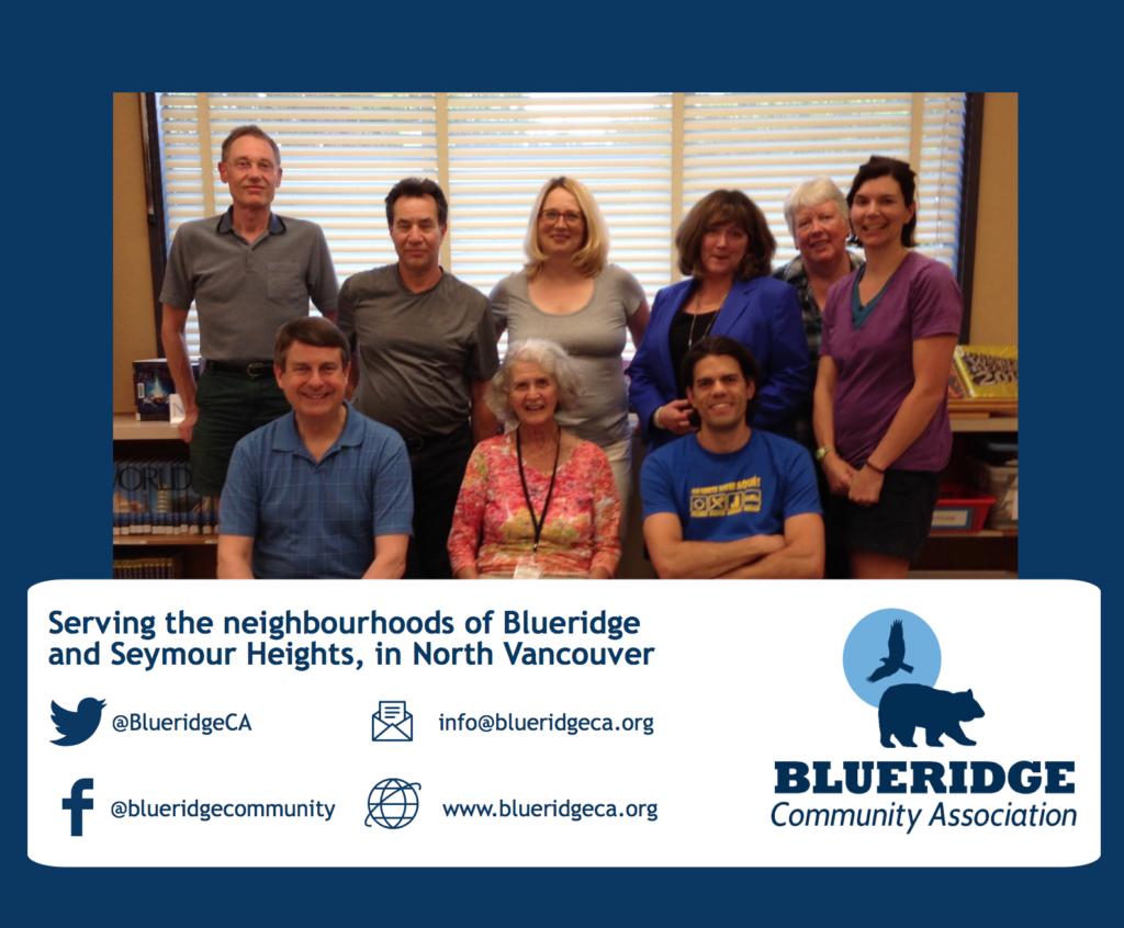
This photo of the BCA board was uploaded to the website on June 24, 2016.
CMHC Signs – An Overview
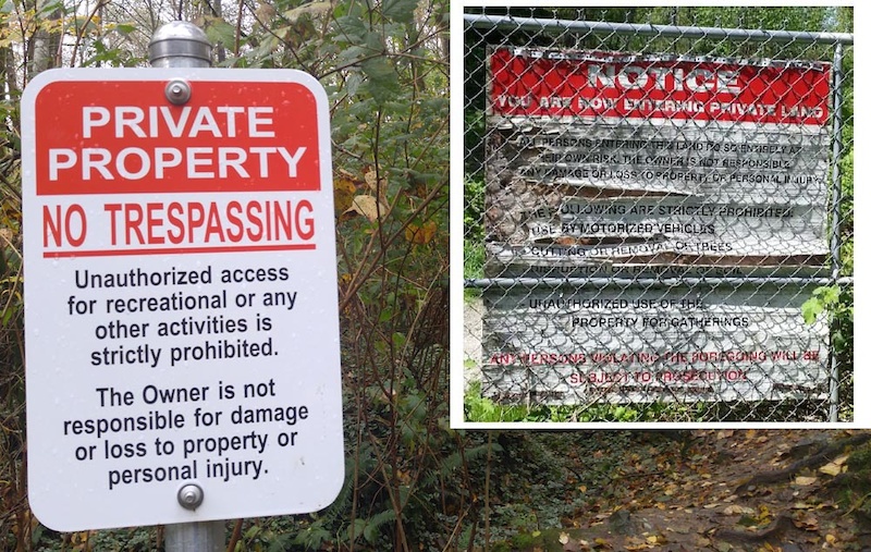
Much has been written about the CMHC sign debacle. For now – it looks like the CMHC has backed down and while some signs are still up, we are allowed to access the forested land East of Blueridge. If you’d like an account of what happened, when and why – here are some links to articles on the CMHC lands:
- Lee Lau’s excellent article that appeared on the PinkBike website.
- North Shore News editorial.
- Blair Rifle Range land use dispute settled
And for a deeper dive into the entire history of the lands involved:
- Donna Sacuta’s Blair Rifle Range History.
Undated Arial Photo of Blueridge
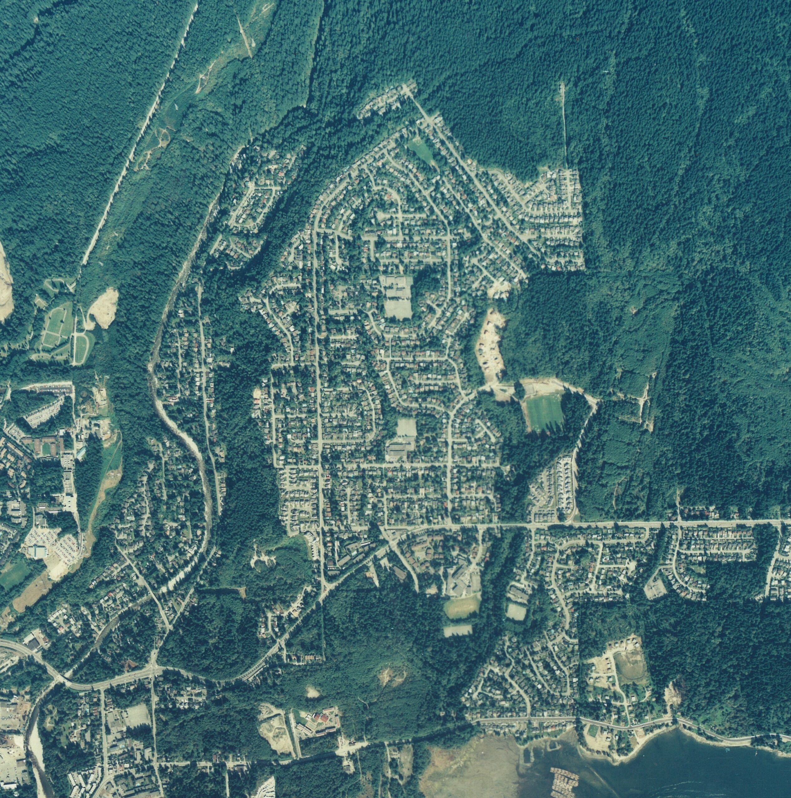
At the moment we don’t have a date for this photo, but maybe you can help? Send your comments to webmaster@blueridgeca.org so we can update it!
The above image is taken from an article about the early days of Blueridge, published in the July 2014 Deep Cove Heritage Society Newsletter:
Blueridge 1955
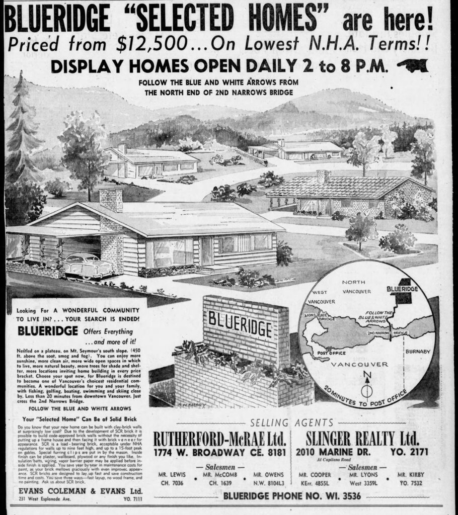
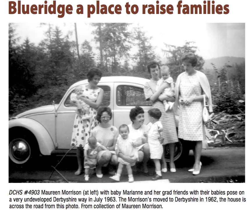
Blueridge has grown a lot in its 60-some-odd years. From starting off as a forest just east of the end of the Second Narrows Bridge to the bustling community filled to the brim with coffee shops, parks, and gardens, it’s hard to imagine a time when our community was just a series of showcase homes in what seems to be a secluded slice of North Vancouver. This small ad from Sunday, September 2, 1955, offers some small amount of clarity as to the true distance that Blueridge has come.
Blueridge Development
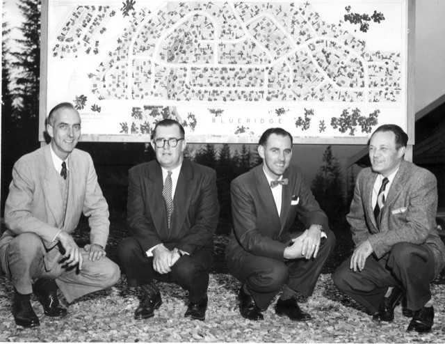
The picture is from the North Vancouver Archives at the Museum of North Vancouver and was provided by realtor Mel Montgomery, who grew up on Hyannis Drive in Blueridge.
The photo (inventory number: NVMA: 106-2-75.) was taken in September 1955, and the information that is provided is just “Unidentified people associated with construction of housing development”.
More history is coming eventually!
If you have anything to share about the history of Blueridge that you would like to see included, please email webmaster@blueridgeca.org and let us know. Thank you!